
Cape Coral Gulf Access Canal Map Tours
How long does it take to get to open water from a Cape Coral neighborhood? It depends on the canal. I've mapped each Gulf Access neighborhood canal by canal, with ride times to open water, bridge heights and flood zones. Pick a neighborhood to see the full guide or watch the map tour.
Berry Cessna, Cape Coral Gulf Access Realtor with eXp Realty

Beach Parkway
Written guide coming soon. Watch the map tour for ride times, bridge heights and flood zones.
Watch the map tour Full guide
Burnt Store Road
- Route
- North Spreader to Matlacha Pass
- Ride time
- 10 min to 1 hr 40 min
- Bridges
- None to 10 ft
 Full guide
Cape Harbour
- Route
- South Spreader or Gloriana Canal to the Caloosahatchee River
- Ride time
- 8 to 48 min
- Bridges
- None to 8 ft 9 in

Cornwallis
Written guide coming soon. Watch the map tour for ride times, bridge heights and flood zones.
Watch the map tour
Country Club
Written guide coming soon. Watch the map tour for ride times, bridge heights and flood zones.
Watch the map tour
Eight Lakes and Tarpon Point
Written guide coming soon. Watch the map tour for ride times, bridge heights and flood zones.
Watch the map tour
Everest
Written guide coming soon. Watch the map tour for ride times, bridge heights and flood zones.
Watch the map tour
Four Mile Cove
Written guide coming soon. Watch the map tour for ride times, bridge heights and flood zones.
Watch the map tour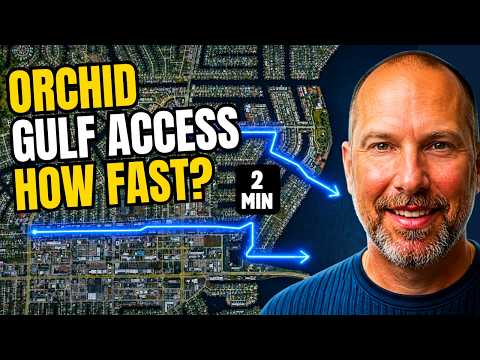
Orchid
Written guide coming soon. Watch the map tour for ride times, bridge heights and flood zones.
Watch the map tour
Palaco Grande
Written guide coming soon. Watch the map tour for ride times, bridge heights and flood zones.
Watch the map tour
Pelican
Written guide coming soon. Watch the map tour for ride times, bridge heights and flood zones.
Watch the map tour
Prado West North
Written guide coming soon. Watch the map tour for ride times, bridge heights and flood zones.
Watch the map tour
Prado West South
Written guide coming soon. Watch the map tour for ride times, bridge heights and flood zones.
Watch the map tour
Savona
Written guide coming soon. Watch the map tour for ride times, bridge heights and flood zones.
Watch the map tour
Surfside
Written guide coming soon. Watch the map tour for ride times, bridge heights and flood zones.
Watch the map tour
Viscaya Prado
Written guide coming soon. Watch the map tour for ride times, bridge heights and flood zones.
Watch the map tour Full guide
Yacht Club
- Route
- Canals to the Caloosahatchee River
- Ride time
- 3 to 20 min
- Bridges
- None to 8 ft 6 in
Not sure which canal fits your boat?
Tell me about your boat and how you like to use it, and I'll show you the neighborhoods and canals that make sense. Book a complimentary discovery call.
Book a Discovery Call