Cape Harbour, Cape Coral: Distance to Open Water, Bridge Heights and Flood Zones
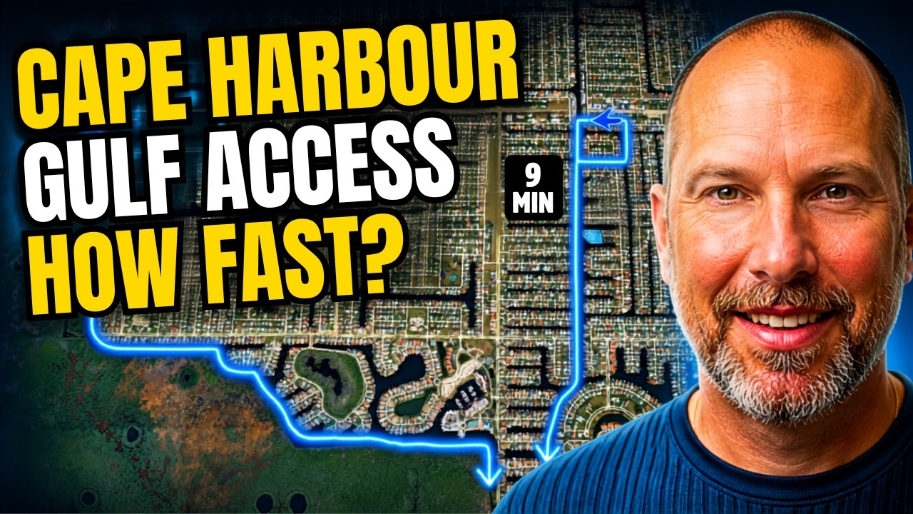
The short answer: Boats from Cape Harbour and the surrounding southwest Cape Coral neighborhood reach open water on the Caloosahatchee River in about 8 to 48 minutes at idle speed, depending on the canal. Homes on the Gloriana Canal, on the South Spreader and in the Cape Harbour gated communities ha
Read More

Yacht Club, Cape Coral: Distance to Open Water, Bridge Heights and Flood Zones
The short answer: Boats from the Yacht Club neighborhood in southeast Cape Coral reach open water on the Caloosahatchee River in about 3 to 20 minutes at idle speed, which makes it one of the quickest Gulf Access neighborhoods in the city. Most of the neighborhood has direct Gulf Access with no brid
Read More
Cape Coral Gulf Access by Neighborhood: Distance to Open Water, Bridge Heights and Flood Zones
The short answer: In Cape Coral, Florida, the distance to open water depends on the neighborhood and even the canal. At idle speed, some Gulf Access homes reach open water in about 10 minutes and others take well over an hour. Southwest and southeast Cape Coral boats head out the Caloosahatchee Rive
Read More

Burnt Store Road, Cape Coral: Distance to Open Water, Bridge Heights and Flood Zones
The short answer: Boats from the Burnt Store Road area of northwest Cape Coral reach open water at Matlacha Pass by way of the North Spreader, not the Caloosahatchee River. At idle speed, the ride takes about 10 to 12 minutes from the south end near Sirenia Vista Park and up to about 1 hour 40 minut
Read More
Recent Posts